The ground shifts fast when you move from the riverfront alluvium near the St. Clair toward the dense till east of Oil Heritage Drive. In one Sarnia neighborhood, a shallow trench hits sandy silt at half a meter; three kilometers south, the same depth bottoms out in stiff, overconsolidated clay that hasn't seen daylight in ten thousand years. That contrast is exactly why generalized site classes fall apart here. The seismic microzonation research done across southwestern Ontario shows that a single postal code can straddle Site Class C and Site Class E, which changes the seismic demand on a structure by a factor of two or more. Our MASW survey maps shear wave velocity directly across the footprint of the project, giving the structural engineer a VS30 value that holds up under NBCC 2020 review instead of the default assumption that often overestimates soil stiffness in Sarnia's lacustrine deposits.
A VS30 value derived from MASW replaces the code-default travel-time assumptions with measured stiffness data, often moving a Sarnia site up one NBCC class and saving foundation concrete.
Local ground factors
The Ontario Geological Survey maps show the Sarnia area underlain by glaciolacustrine clays and silts that can vary from soft to very stiff over distances of fifty meters. When a structural design relies on the default Site Class D without measured shear wave velocity, the resulting base shear calculation may be off by 30%, either overspending on lateral systems or underestimating seismic demand. A VS30 value below 180 m/s puts the site into Class E territory, triggering a higher design spectrum that affects everything from footing dimensions to drift limits in steel moment frames. We have seen this exact situation on expansion projects near the chemical valley, where the combination of high water table and compressible clay layers created a velocity profile that conventional SPT blow counts alone did not flag. The NBCC 2020 commentary is explicit: where more than 3 meters of soft clay overlie bedrock, site-specific shear wave velocity measurement is the preferred method for classification over N-value proxies.
Quick answers
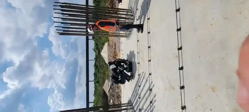
How much does a MASW survey cost for a standard lot in Sarnia?
For a single-spread MASW survey on a residential or small commercial lot in Sarnia, the fee ranges from CA$2,540 to CA$4,790. The final quote depends on array length, number of spreads, and whether we combine the acquisition with other geophysical methods during the same mobilization.
Does the NBCC require VS30 measurement for all building permits?
The NBCC 2020 permits default site classification based on soil type and standard penetration resistance, but the commentary encourages site-specific shear wave velocity measurement when more than 3 meters of soft clay or loose sand is present. Given Sarnia's glaciolacustrine stratigraphy, many structural reviewers now request measured VS30 to justify the seismic design parameters.
How long does it take to get the final VS30 report?
Field acquisition for one or two spreads is completed in a single day. The dispersion analysis and inversion modeling require two to three business days afterward, and the stamped report is delivered by the end of the week under normal scheduling.
Can MASW be done on a paved parking lot or inside an existing building?
Active-source MASW needs direct geophone coupling to the ground, so pavement must be cored or a soil patch prepared for each sensor. Inside operating facilities, vibrations from machinery can degrade the dispersion image; we schedule acquisitions during shutdowns or use nighttime windows to minimize ambient noise.